Jeannine Wintzer


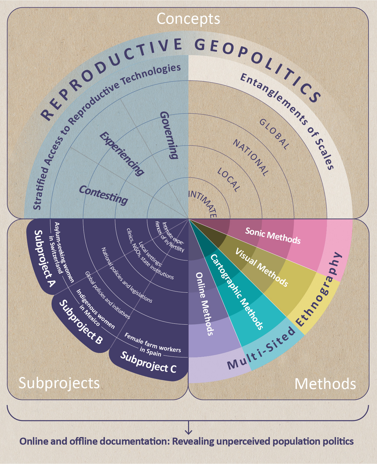


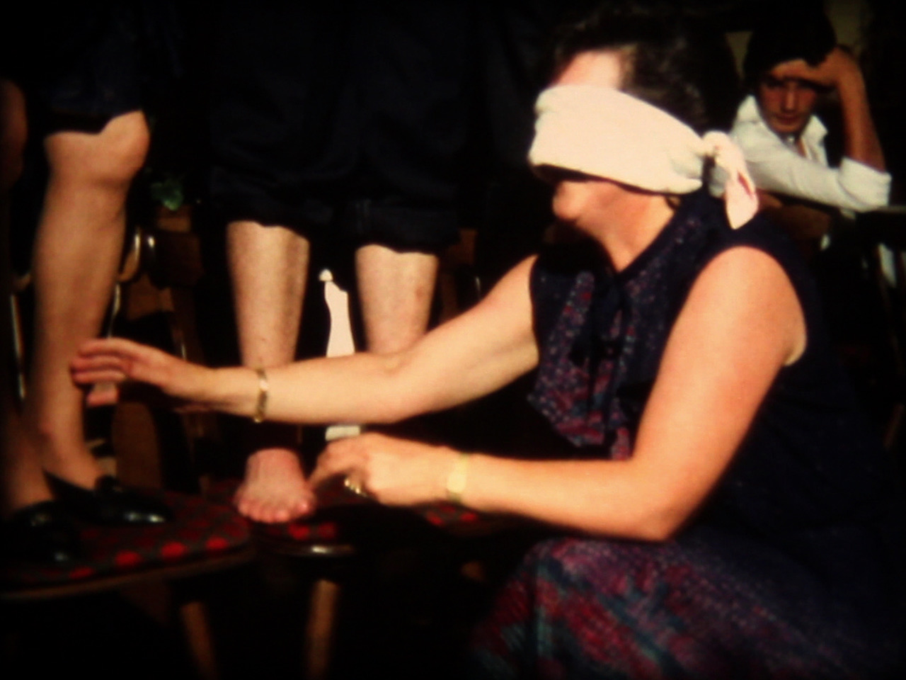


Maps model, represent and translate spatial knowledge into a (geo)graphic form. Even if they always have a utility value, one cannot deny their aesthetic dimension. Thus, cartographers have always used artistic and design methods to achieve certain effects and statements.
While maps have traditionally served to generalize scientific parameters, spatial phenomena, and quantifiable data to scale, the visualization of qualitative data has come to play an increasingly important role in the social and cultural sciences. The practice of critical map reading that has emerged here, in turn, has an impact on standard forms of representation in the natural sciences and the quest for analytical distancing. Counter mapping or participatory mapping, for example, emerged from a power-critical examination of the practice of mapping.
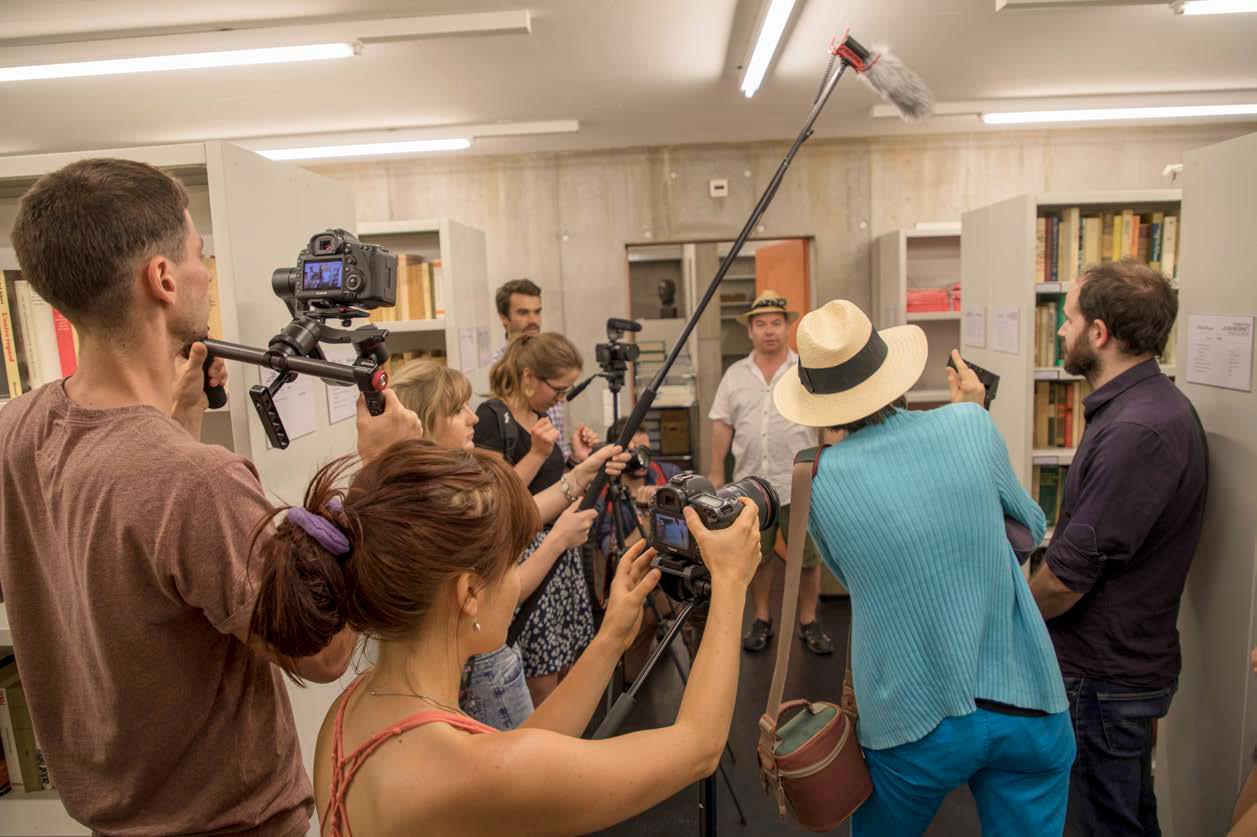
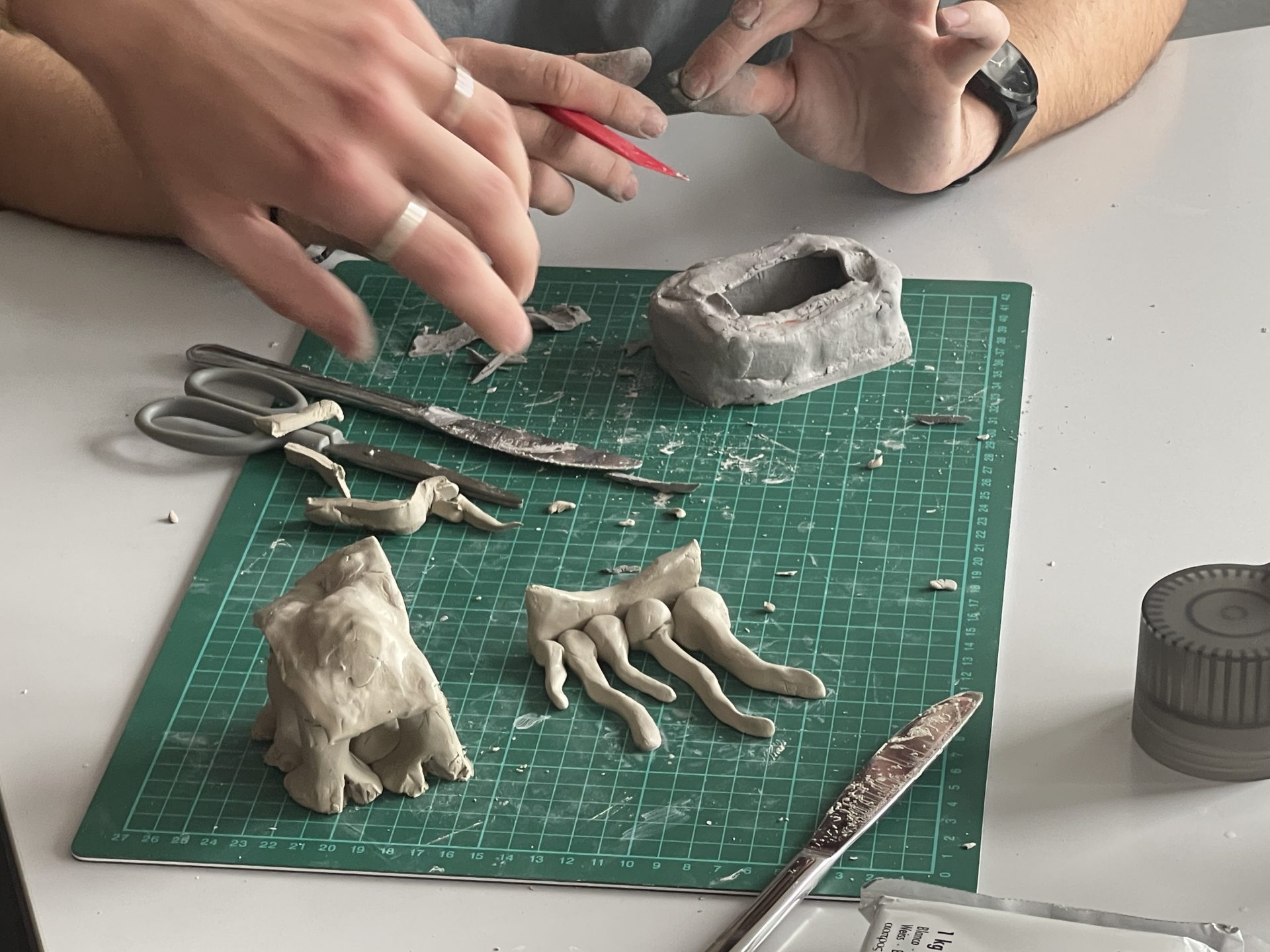
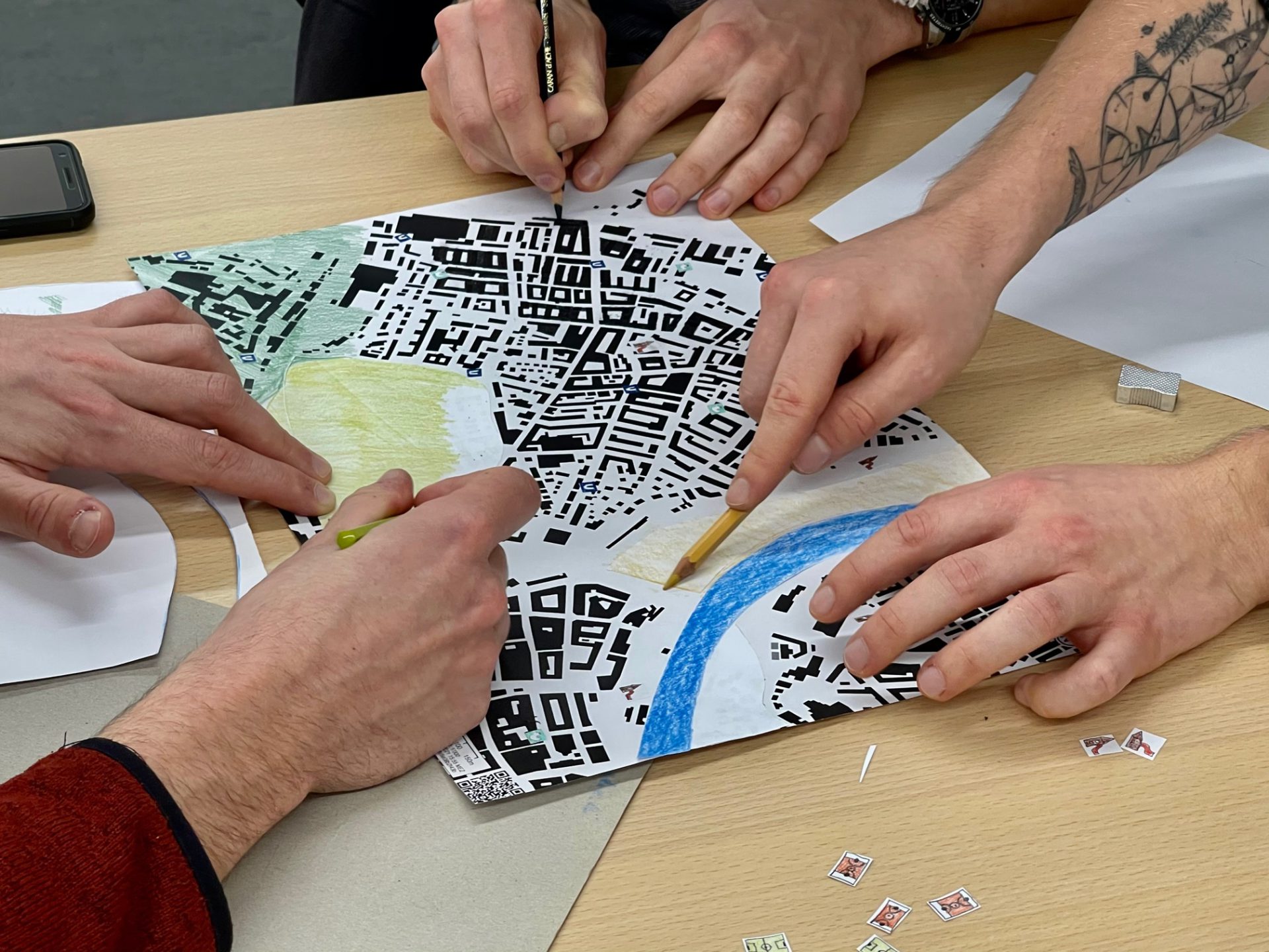
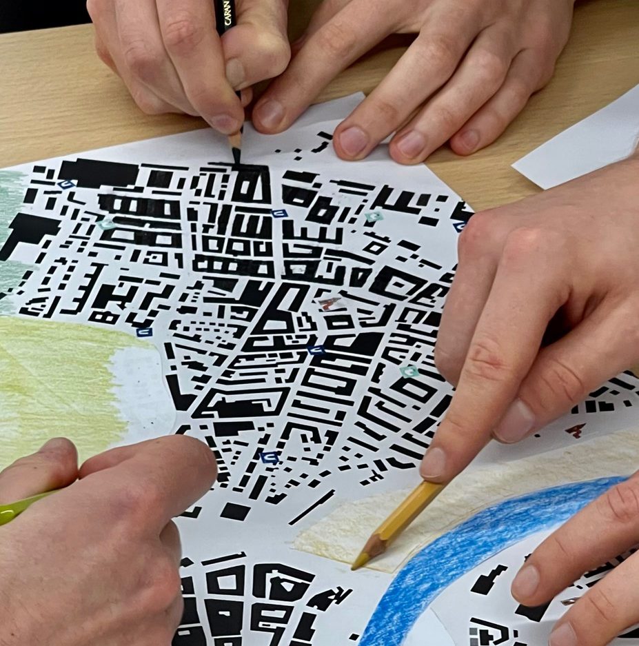
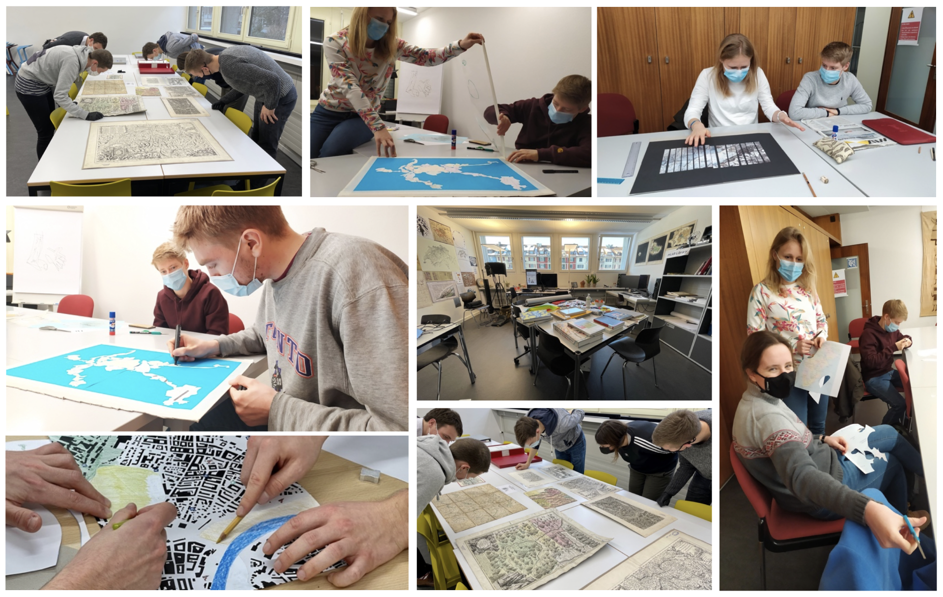
In this seminar, the mLAB offered geography students the opportunity not only to engage with new forms of mapping in terms of content, but also to reflect on the production of maps and to experiment together with new mapping practices. Through expert inputs, group work, and hands-on experimentation, students learned about the medium of the map, intervened in existing understandings of mapping, and laid the groundwork for the development of new mapping practices in the future.
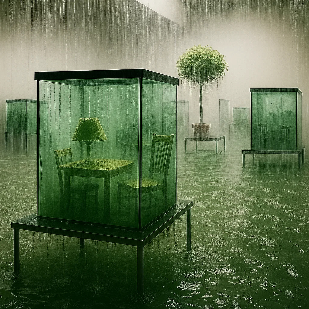
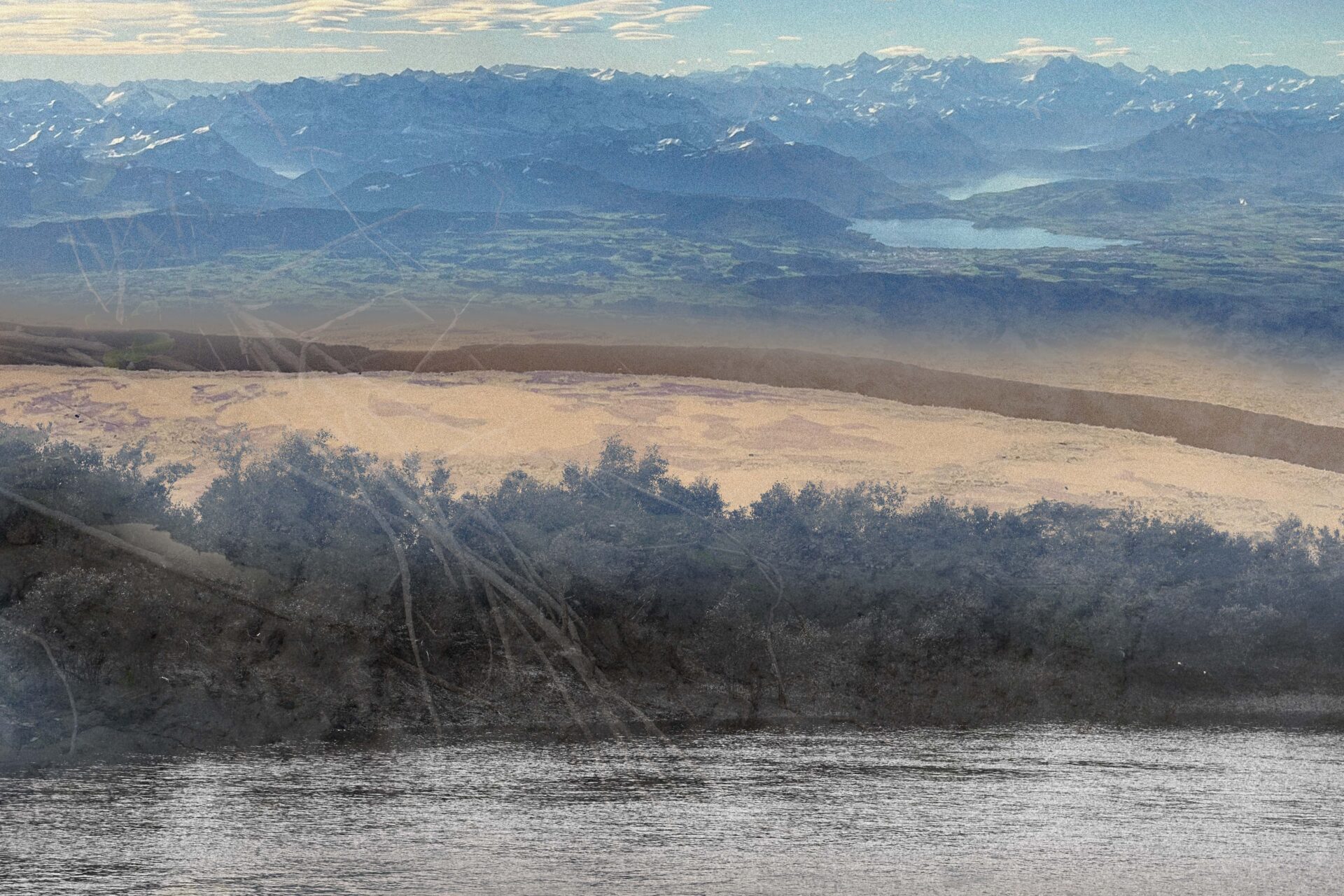
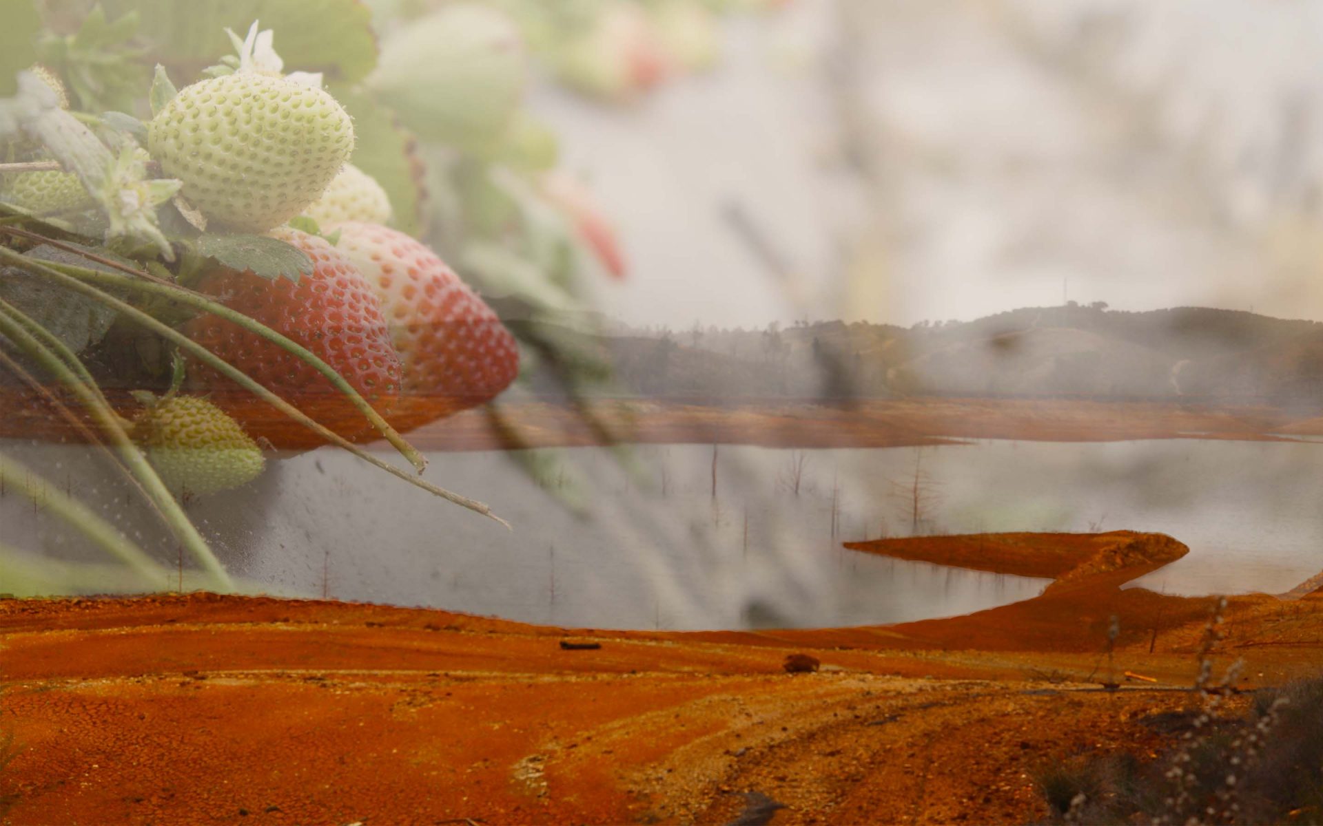
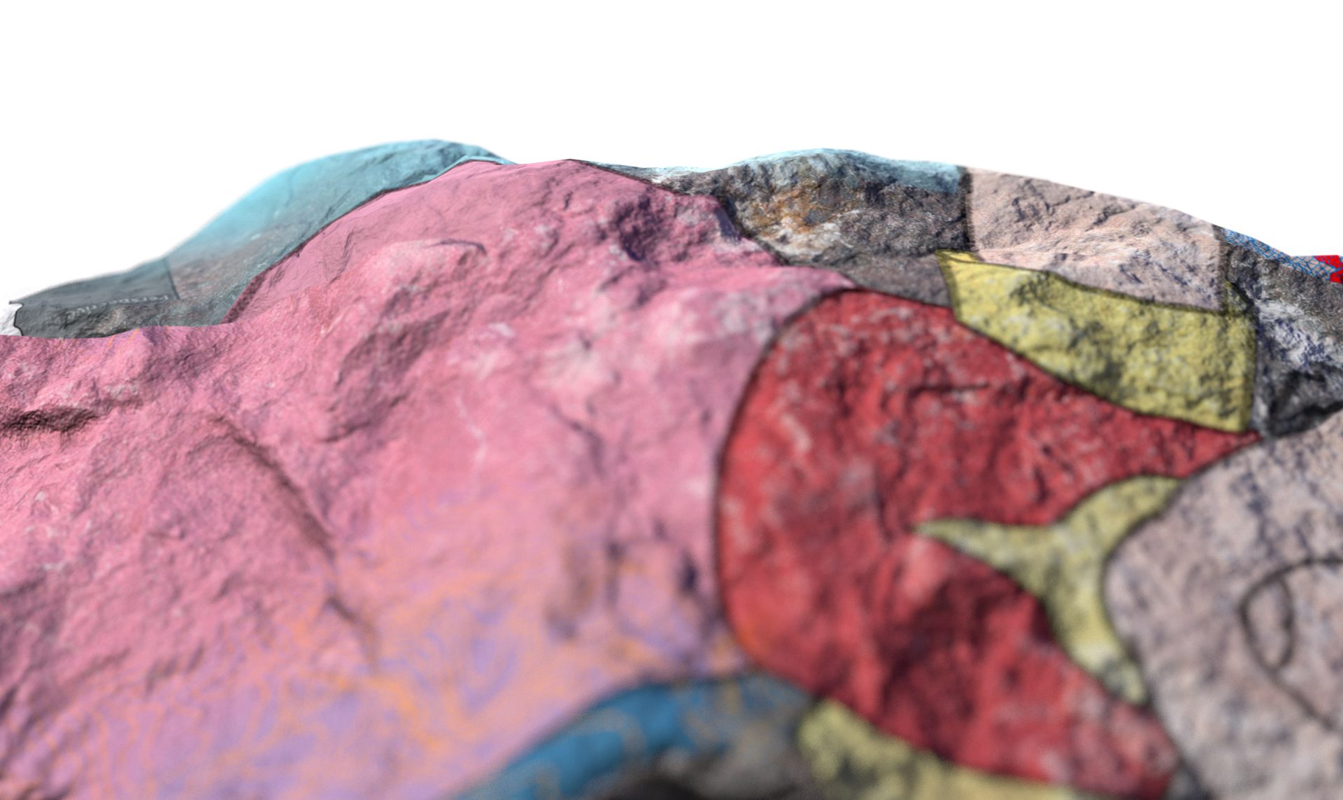
In Mirko Winkel’s seminar and inspired by the work of 3000 Peaks, the students developed cartographic interpretations for the future melting of permafrost and glaciers in the Swiss Alps.
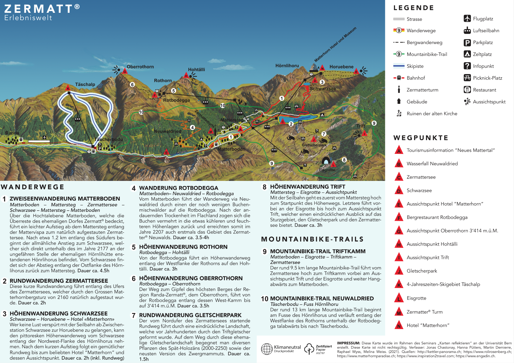
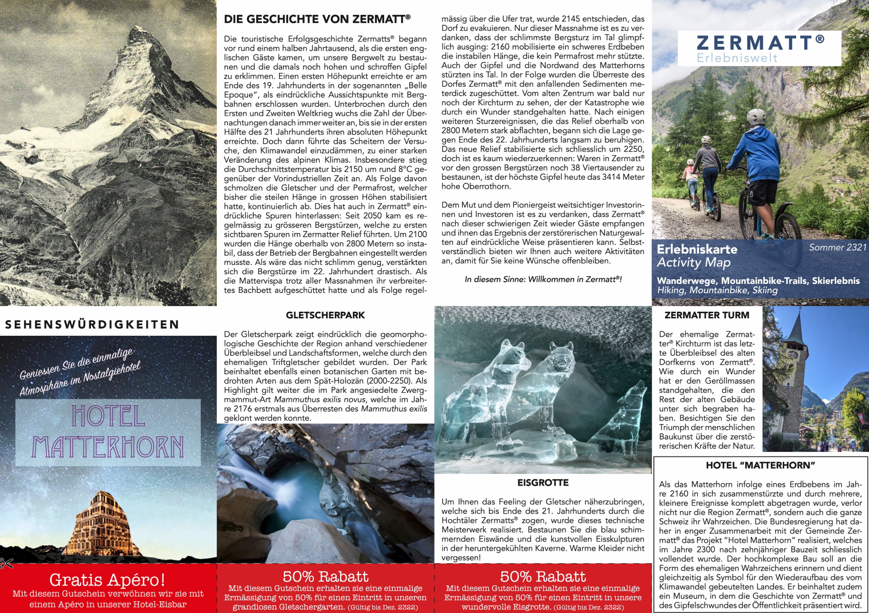
1. Tourism in Future Zermatt
What could the tourist offer in Zermatt look like in 300 years after the permafrost has melted? Take a look at the brochure of the adventure world Zermatt in the year 2321.
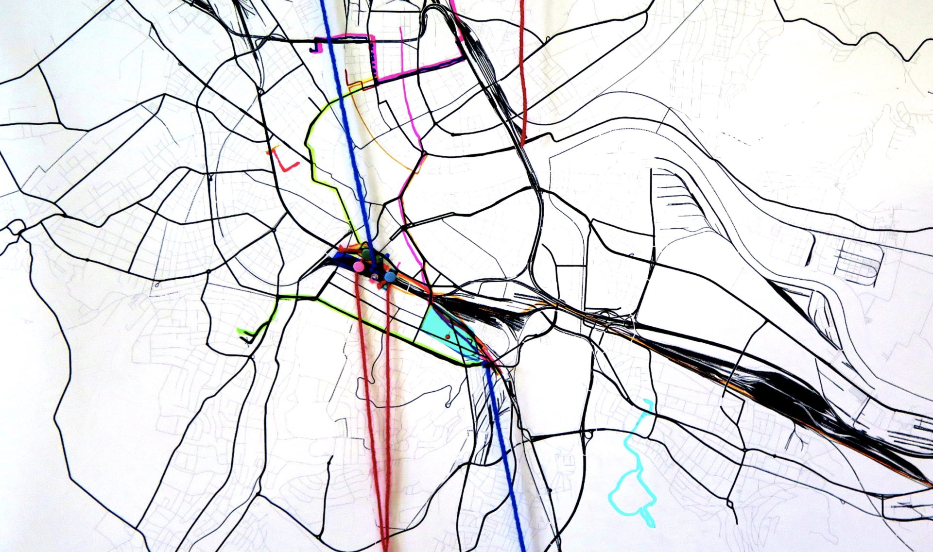
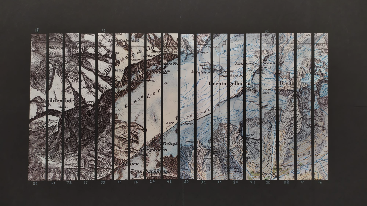
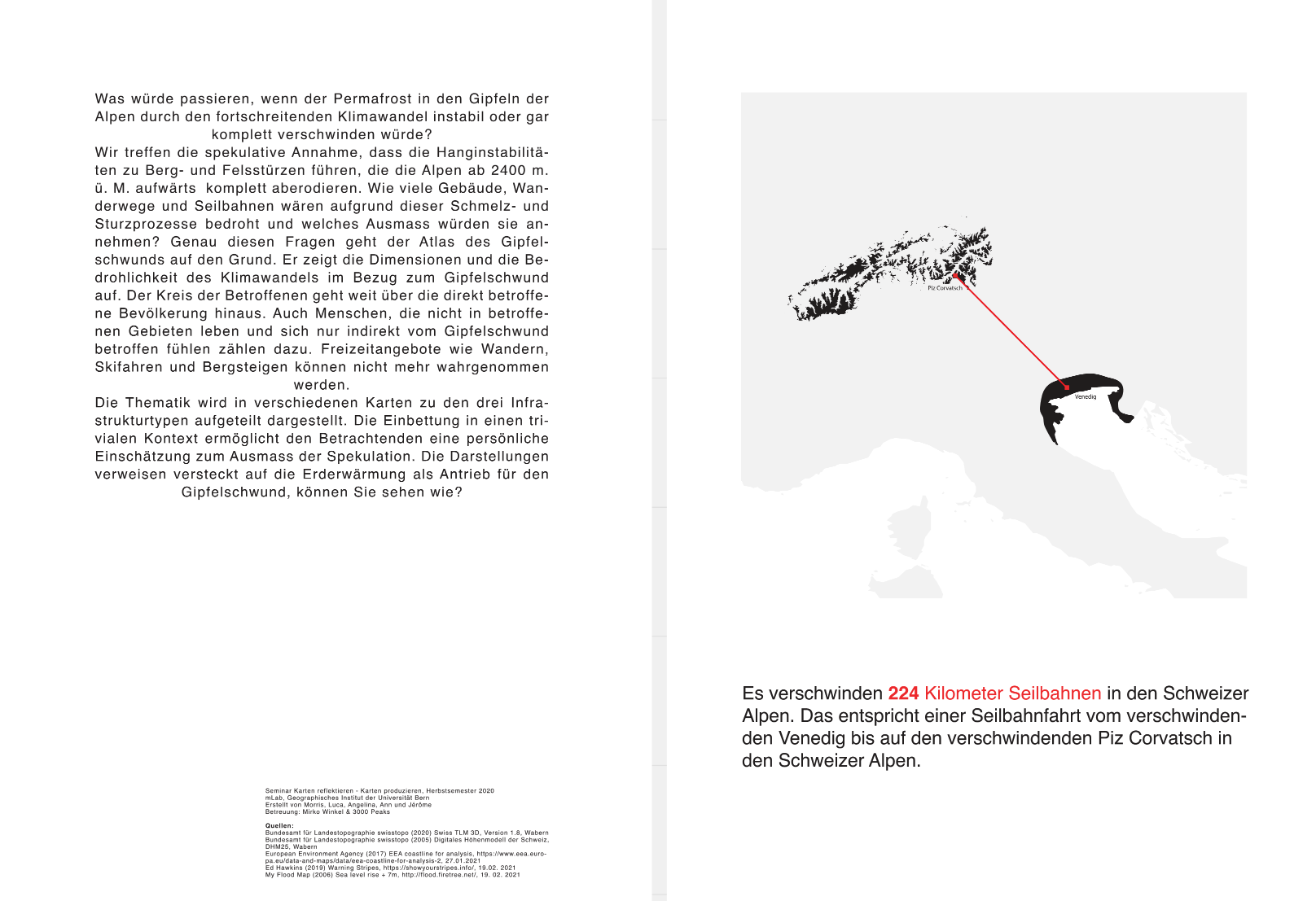
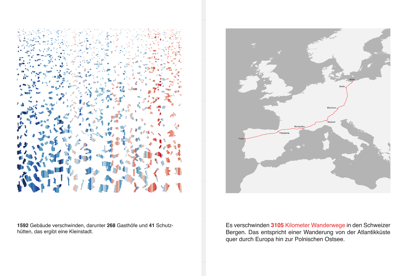
2. Atlas of the Peak Shrinkage
Let’s make the speculative assumption that permafrost causes landslides so severe that the Alps above 2400 meters are completely eroded. What impact would this have on infrastructure? This atlas uses maps to show possible scenarios.
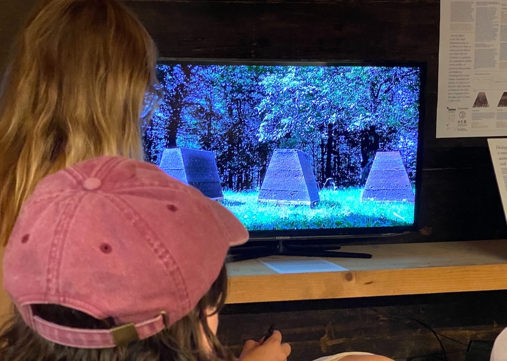
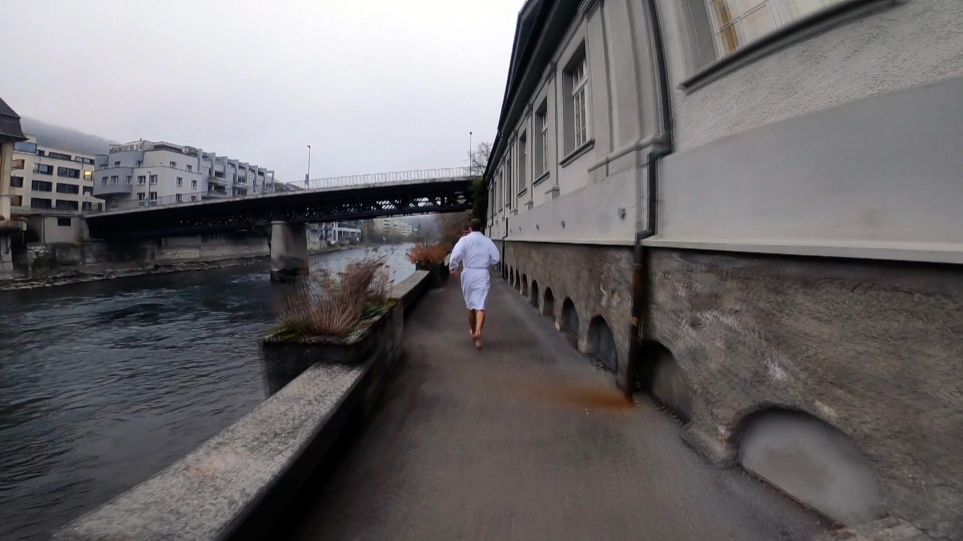
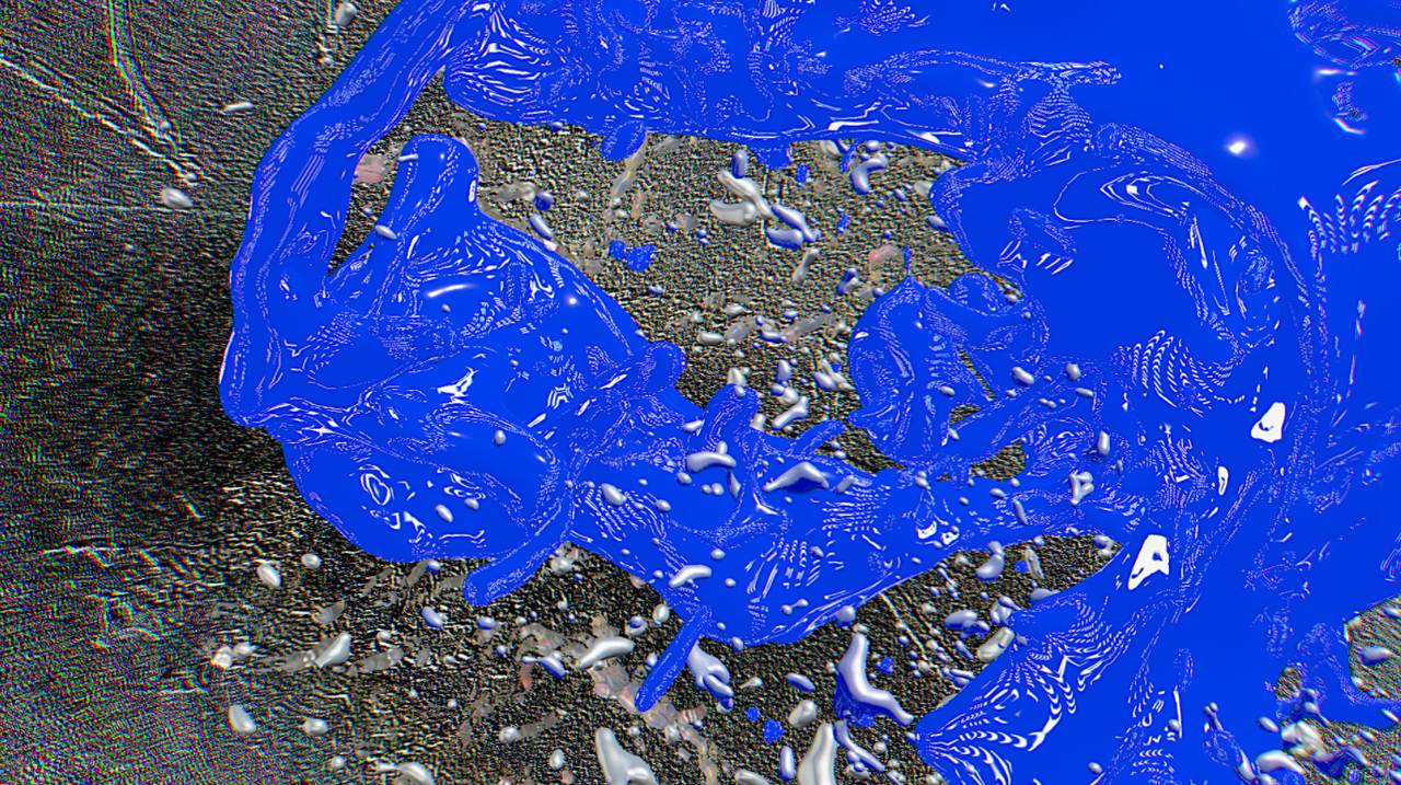
3. Video: Temporary Giants
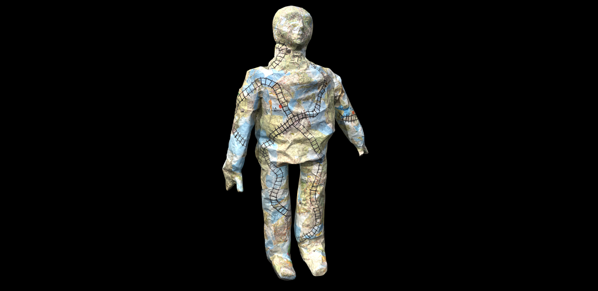
It took millions of years for the Alps to form. This form is constantly changing. But due to human-induced climate change, permafrost is melting faster than ever before. The giants that we perceive as the Alps will disappear and the landscape will change again. In an artistic approach, this video captures the process of change.
Direction:
Experts:

About
Our aim is to make new media, art and digital technologies an integral part of research activities and develop unorthodox coalitions of aesthetics and geography. Besides making research results visible to different publics, the mLAB focuses on creating sensorial routes of knowledge production.
Mirko Winkel
Carolin Schurr,
Susan Thieme
Design:
Studio Yukiko
Programming:
web3000